All official European Union website addresses are in the europa.eu domain.
See all EU institutions and bodiesThis page contains information on habitats and European classifications and typologies. The term “habitat” has several meanings. In ecology it means either the area and resources used by a particular species (the habitat of a species) or an assemblage of animals and plants together with their abiotic environment. A habitat or a group of related habitats can be considered an ecosystem.

Overview of habitat classifications/typologies
Over time there have been many approaches to systematically describe habitats. Many countries have developed their own national habitat classifications or flat typologies (lists of habitats with no hierarchy) but some classifications and typologies cover the entire Europe. The most used classifications / typologies at European level are the following:
EUNIS habitat classification
The EUNIS habitat classification is the most comprehensive pan-European system for habitat identification. The classification is hierarchical and covers all types of habitats from natural to artificial, from terrestrial to freshwater and marine. The definition of habitats used for the EUNIS habitat classification is: “a place where plants or animals normally live, characterized primarily by its physical features (topography, plant or animal physiognomy, soil characteristics, climate, water quality, etc.) and secondarily by the species of plants and animals that live there”. The habitat types are identified by specific codes, names and descriptions. There are crosslinks to other typologies.
Habitats Directive Annex I typology
The Habitats Directive Annex I typology is a list of selected habitat types that are in danger of disappearance in their natural range, or have a small natural range or present outstanding examples of typical characteristics. These habitat types are protected under the EU Habitats Directive (Directive 92/43/EC). Sites hosting these habitats can be included in the Natura 2000 network.
Bern Convention Resolution 4
The Bern Convention Resolution 4 typology is a list of selected European endangered natural habitats requiring specific conservation measures. They are based on EUNIS classification. These habitat types are protected under the Convention on the Conservation of European Wildlife and Natural Habitats (1979), in short the Bern Convention. Sites hosting these habitats can be included in the Emerald network.
European Red List of Habitats
The European Red List of Habitats is a comprehensive typology of all natural and semi-natural terrestrial, freshwater and marine habitats including reviews of their current threat status. It covers the EU27 plus United Kingdom, Iceland, Norway, Switzerland and the Balkan countries and their adjacent areas.
EUNIS habitat classification1 | Habitats Directive Annex I habitats | Bern Convention Resolution 4 habitats | European Red List of habitats |
|---|---|---|---|
Marine benthic habitats | Coastal and halophytic habitats | Marine habitats | Marine habitats |
Pelagic water column | Coastal sand dunes and inland dunes | Coastal habitats | Coastal habitats |
Ice-associated marine habitats | Freshwater habitats | Inland surface waters | Freshwater habitats |
Coastal habitats | Temperate heaths and scrub | Mires, bogs and fens | Mires and bogs |
Grasslands and lands dominated by forbs, mosses or lichens | Sclerophyllous scrub (Matorral) | Grasslands and lands dominated by forbs, mosses or lichens | Grasslands |
Heathland, scrub and tundra | Natural and semi-natural grassland formations | Heathland, scrub and tundra | Heathland and scrub |
Forest and other wooded land | Raised bogs and mires and fens | Woodland, forest and other wooded land | Forests |
Inland habitats with no or little soil and mostly with sparse vegetation | Rocky habitats and caves | Inland unvegetated or sparsely vegetated habitats | Sparsely vegetated habitats |
Vegetated man-made habitats | Forests | Habitat complexes | |
Wetlands |
1 Note: 3 groups are in pending review: Inland waters, Constructed, industrial and other artificial habitats, Habitat complexes
Distribution of Habitats Directive Annex I habitat types

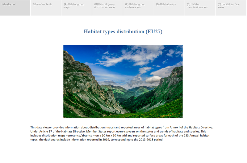
This Expert dashboard provides information about distribution (maps) and areas (distribution and surface) of habitat types from Annex I of the Habitats Directive. Under Article 17 of the Habitats Directive, Member States report every six years on the status and trends of habitats and species. This includes distribution maps – presence/absence – on a 10 km x 10 km grid and surface areas for each of the 233 Annex I habitat types; the dashboards include information reported in 2019, corresponding to the 2013-2018 period.
Related resources


